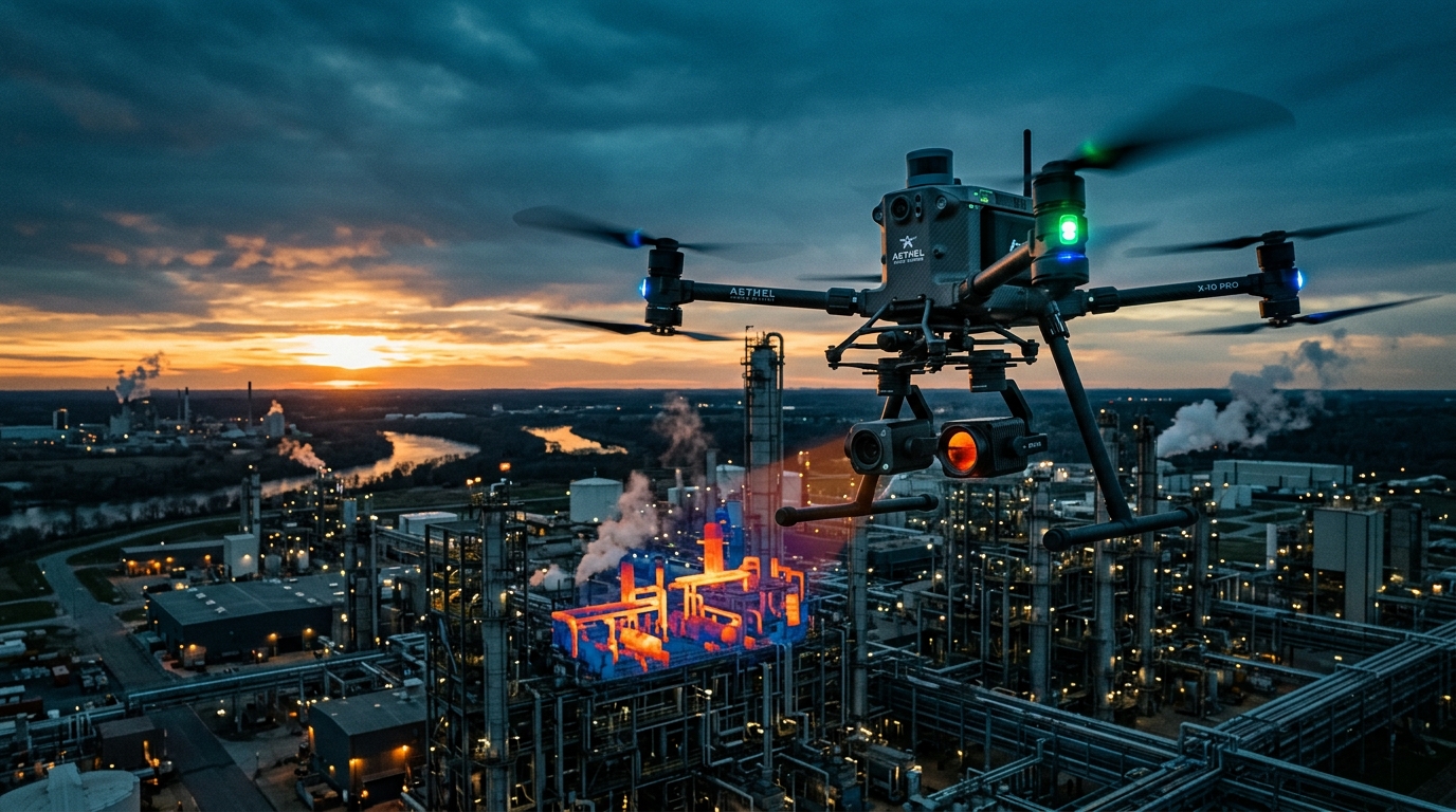
AI flight autonomy, LiDAR mapping, thermal inspection & edge aerial robotics. We engineer autonomous UAV platforms that transform how enterprises inspect, survey, and secure their assets.
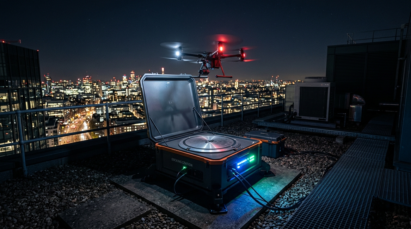
From edge AI on NVIDIA Jetson for real-time visual inspection to BVLOS waypoint navigation, automated docking stations, and cloud photogrammetry pipelines — we enable enterprises to deploy smart drones at industrial scale.
Watch how our autonomous drone technology transforms industrial operations with AI-powered inspection, mapping, and surveillance.
Industry-specific drone solutions engineered with edge AI, autonomous navigation, and enterprise-grade reliability.
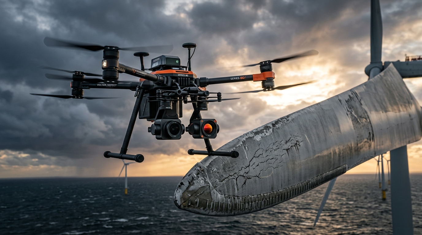
Deploy autonomous drones for close-range inspection of wind turbines, solar panels, power lines, bridges, and oil & gas infrastructure. Our edge AI models detect cracks, corrosion, hot spots, and structural anomalies in real-time — eliminating hazardous manual inspections.
Wind turbine blade inspection, solar panel hotspot detection, power line corridor surveys
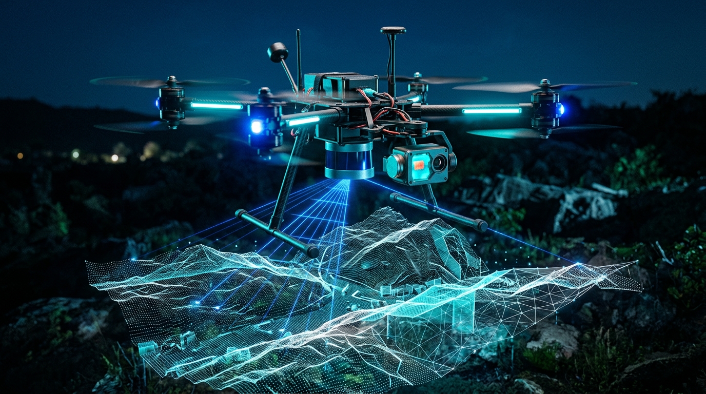
Site progress monitoring, volumetric stockpile measurement, terrain 3D mapping
Pipeline leak detection, flare stack inspection, offshore platform monitoring
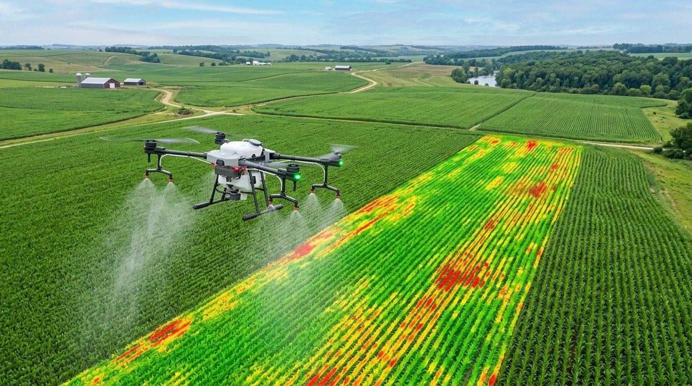
Crop health NDVI mapping, precision spraying, irrigation monitoring, yield prediction
Perimeter surveillance, border patrol, event security, search & rescue operations
Cell tower inspection, roof surveys, railway corridor mapping, bridge assessment
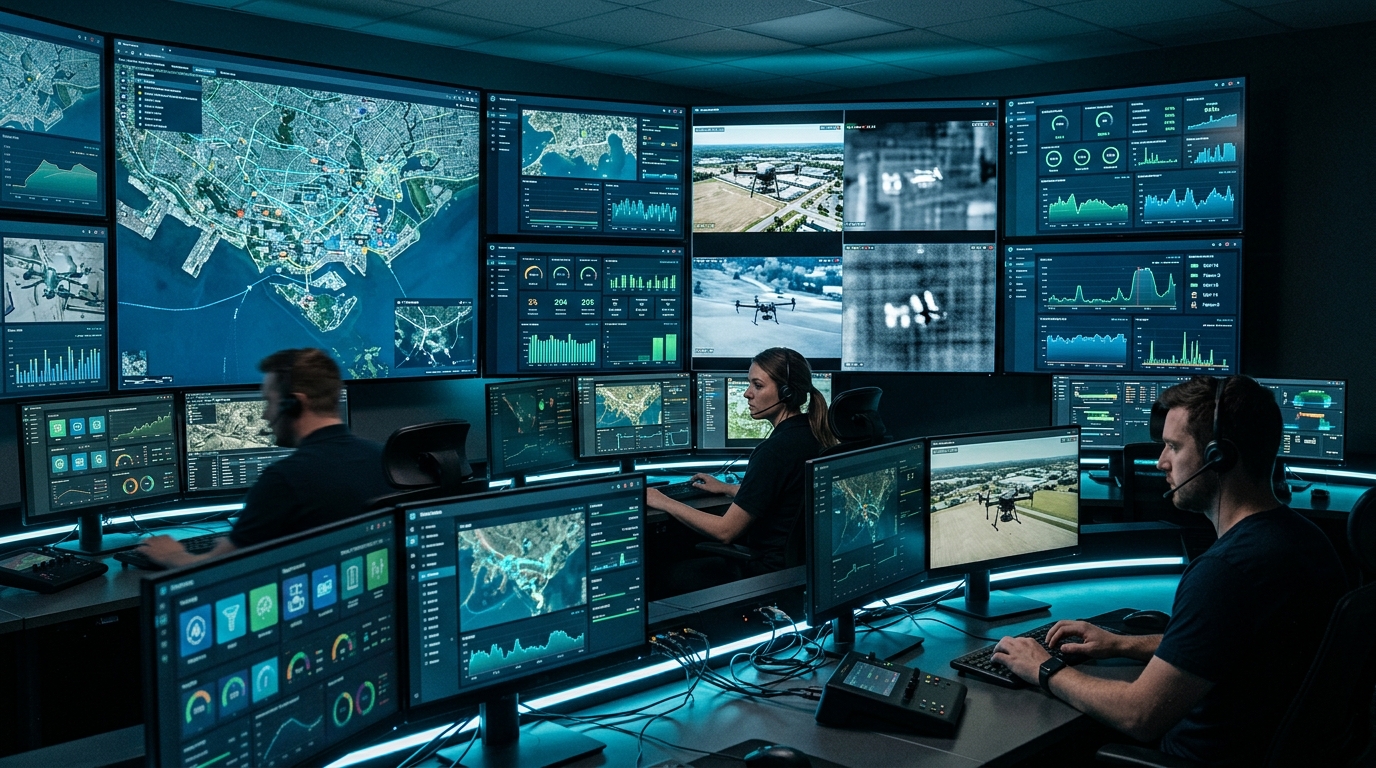
Let's discuss your inspection, mapping, or surveillance requirements. Our team will design a custom drone solution tailored to your industry and operational needs.
